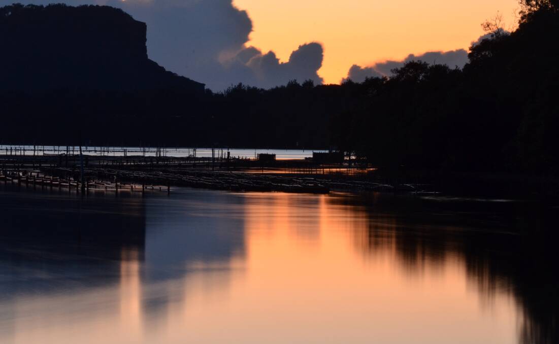
If you think we’ve had enough rain during August, you may be right.
Subscribe now for unlimited access.
$0/
(min cost $0)
or signup to continue reading
The Mid-North Coast has received more than double its average August rainfall with some more showers predicted over the next few days.
Meteorologist with weatherzone Kim Westcott said the coast had already received 152.4mm of rain up to 9am on Wednesday over seven days in August.
“The average rainfall for this month for the area is just 68.1mm,” she said.
“Fortunately, the early week rains have moved offshore and Thursday and Friday are likely to be quite sunny.
“Thursday’s temperature range is seven degrees up to 19 degrees while Friday is five degrees up to 18 degrees.
“There could also be some very light showers, probably on Friday.
“Saturday will have a minimum of five degrees and a maximum of 19 degrees but it is likely that you will be getting some showers, in the range of around 10mm, but quite possibly lighter than that.”
But the sun Gods will return with Ms Westcott forecasting that Sunday will be ‘looking fantastic’.
She said the five degree start to the day will open up to a day of around 20 degrees featuring plenty of sunshine.
Monday will be even warmer at 22 degrees.
A lower pressure trough, along with a low developing within that trough, is sitting around northern NSW and will eventually move offshore.
“This low will see an increase in seas with a gale force warning for Thursday,” she said.
“Seas will be increasing to about three metres.
“By Friday, as the low moves toward New Zealand, we will notice those seas will drop to one to two metres.
“And it would not be a good idea to be in the water with showers and thunderstorms forecast. It is certainly not the safest place to be," the meteorologist said.

